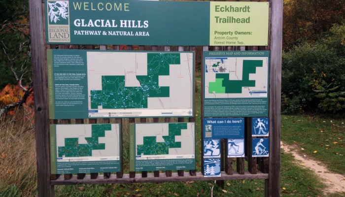


While this property was protected by GTRLC, it is managed by Friends of Glacial Hills and owned by Antrim County, Forest Home Township and the Village of Bellaire. Please contact them with any issues.
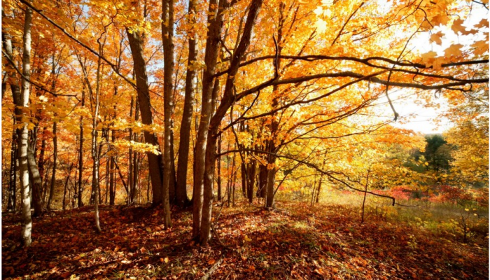
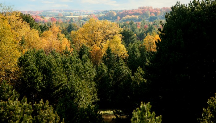
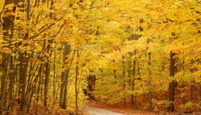
The extreme ecological diversity found at the Glacial Hills Pathway and Natural Area speaks to its statewide significance. The property contains 12 distinct habitat types, including two hardwood forest types, three wetland habitats, and the shrub thicket and wet-mesic forest types that support more than 20 species of trees, more than 100 species of flowers, and more than 100 species of birds, including great-horned owls, eagles and the threatened red-shoulder hawk. Protection of this parcel also safeguards water quality in the beloved Chain of Lakes watershed.
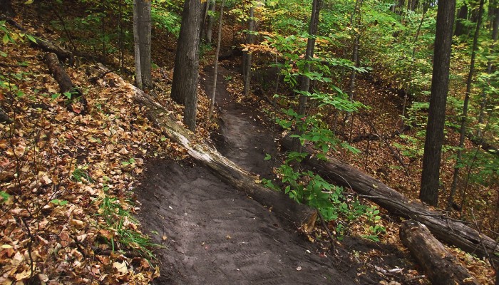
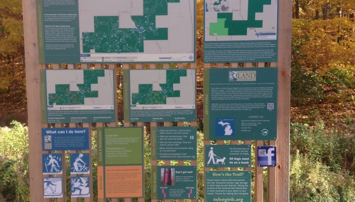
GTRLC assisted Antrim County and Forest Home Township in acquiring 345 acres of property which consolidated fragmented holdings into a contiguous 763-acre publicly-owned block. Although the parcels are owned by separate units of government, the natural area is administered as a single entity and shares a combined trail system of over 30 miles. These trails are well-suited for hiking, biking, cross-country skiing, hunting and wildlife viewing.
If you’d like to donate to trail maintenance at Glacial Hills or to volunteer there, please click here to be redirected to the Friends of Glacial Hills website. Please note: these donations do not come to GTRLC.
For the Glacial Hills Pathway & Natural Area Economic Impact Study completed by Avenue ISR, click here.
Read the Glacial Hills chapter from our 25th-anniversary publication Love the Land: Pass It On.