PERMITTED ACTIVITIES
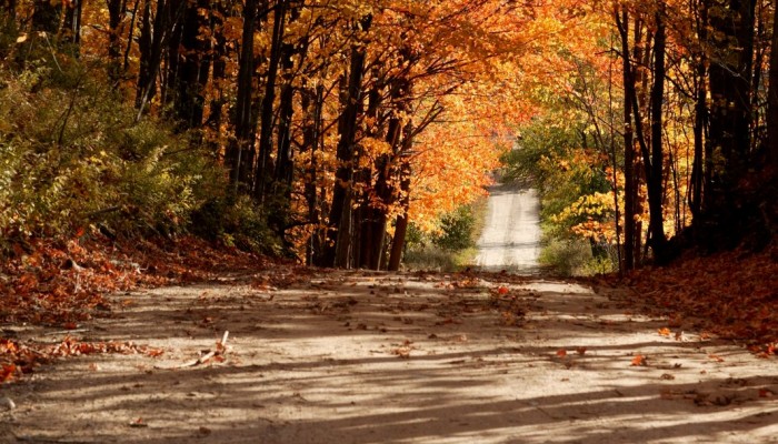
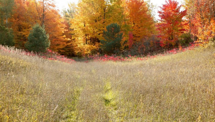
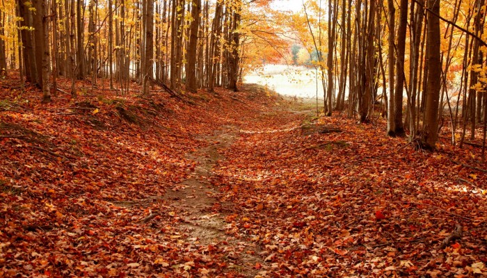
The preserve is open from dawn until dusk. Aside from hiking, snowshoeing, bird watching and many other passive activities, the following activities are allowed at this preserve.
- Dog walking is allowed, but must always be kept on a leash. Here’s why.
- Educational use is welcome, but we ask our guests to be mindful that they are visiting the homes of the plants and animals whose lives depend on the land’s protection and health. If you would like to lead a group hike at this preserve, please contact us to make sure that the date is open and there are no conflicting uses on the site.
- Hunting is allowed, but regulations vary. Please refer to the hunting rules tab on the page of the preserve you’d like to hunt before you go. Trails are not closed during hunting season.
- Non-motorized boating is permitted. Please follow the recommendations below to prevent the spread of aquatic invasive species.
- Fishing in accordance with state regulations. Please take care to clean up your litter, and follow the recommendations below to prevent the spread of aquatic invasive species. When ice fishing, shanties are permitted but must be removed daily (seasonal/permanent shanties are prohibited). Snowmobiles and ATVs are also prohibited.
Help Us Stop Aquatic Hitchhikers! Boats and anglers can significantly contribute to the spread of invasive species in our waterways. Every time you launch into or leave a body of water, please do the following to prevent their spread:
- Clean boats, trailers, and equipment and remove all mud, debris, and aquatic plant material
- Drain water from watercraft, including live wells, bilges, and ballast tanks
- Dry watercraft and equipment thoroughly
- Dispose of bait in the trash–please do not release bait into the water!
PROHIBITED ACTIVITIES
- Camping
- Fires
- Electric bikes
- Seasonal/Permanent ice fishing shanties
- Commercial harvesting of ANY species
- ORVs
- Drone usage
- Motorized boating
- Metal detecting (including the use of magnets in waterways)
- Trapping
- Geocaching (without prior permission from GTRLC)
- Mountain biking
- Foraging: Removal of natural features, plants or animals, outside of allowable hunting seasons, is prohibited. This includes firewood, ramps (wild onions or leeks), fiddleheads of ferns, and all native plants that are dug, cut, or damaged upon harvest. Common species of fruits, like apples or raspberries, nuts, and mushrooms that are growing in abundance, may be collected in small quantities, by hand, for personal use only. Commercial harvest of plants, animals or mushrooms is not allowed.
- Placement of items or structures of any kind: For the enjoyment of all users and the preservation of natural spaces, we ask that visitors take only memories and leave only footprints. Placement of memorial items, painted rocks, fairy houses, geocaches, or the construction of benches, bridges, teepees, or other man-made items using natural materials is not allowed.
- Private events (including weddings)
Please contact us directly at (231) 929-7911 if you have any questions, notice a maintenance need, or witness an inappropriate activity taking place on a preserve.
If you would like to request use of or conduct research on this property please Contact Us.